Trek Zone

John H. Chafee National Wildlife Refuge
#5629 among destinations in the United States

National park
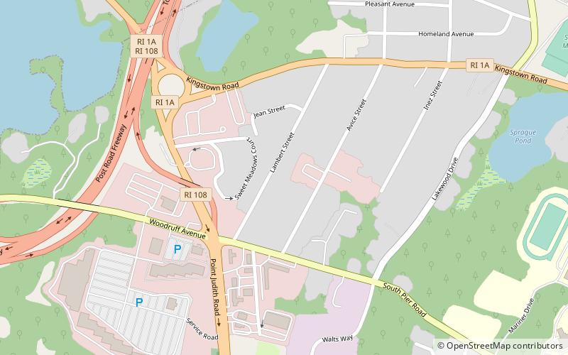
John H. Chafee National Wildlife Refuge location map
Map

Facts and practical information

Established: 1988 (36 years ago)Elevation: 75 ft a.s.l.Coordinates: 41°25'56"N, 71°28'44"W
Location

Rhode IslandUnited States

Contact
Social media
Add
Day trips

John H. Chafee National Wildlife Refuge – popular in the area (distance from the attraction)

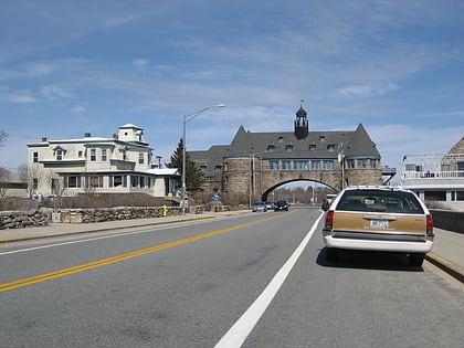
Nearby attractions include: The Towers, South County Museum, St. Thomas More Parish, The Glass Station.

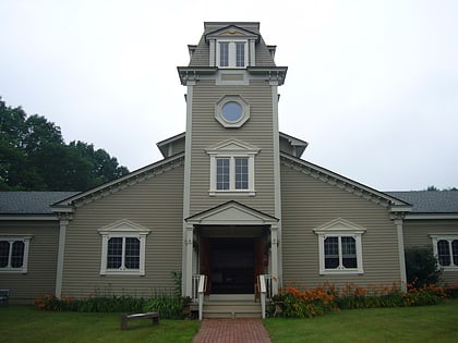
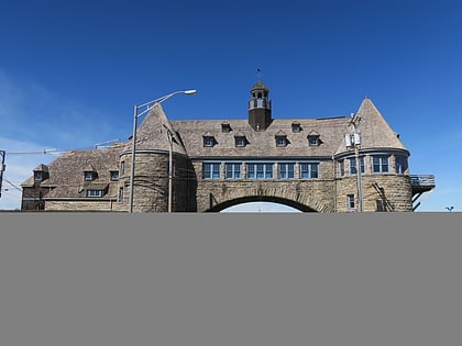
  • the towers narragansett1.2 miE
  • south county museum narragansett1.1 miNE
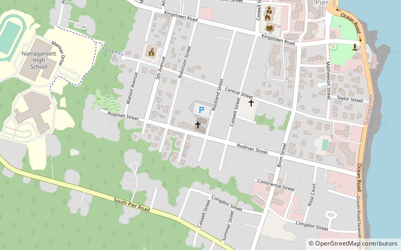
  • st thomas more parish narragansett location map
    0.9 miE
  • the glass station wakefield1.1 miNW
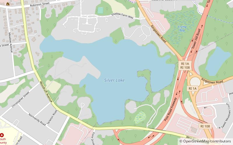
  • silver lake wakefield location map
    0.5 miW
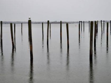
  • narragansett pier1 miE
  • maury loontjens memorial library narragansett1 miE
  • towers historic district narragansett1.1 miE
  • earlscourt historic district narragansett1.4 miSE
  • central street historic district narragansett0.9 miE
  • gardencourt narragansett1.2 miSE

Where to next? Visit rhode island Rhode Island region page or discover the top tourist attractions in United States.