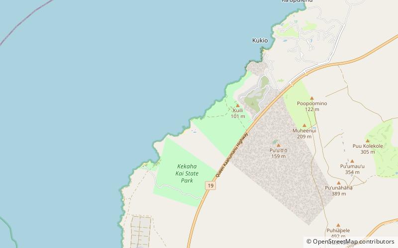
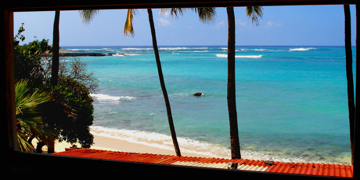
Kekaha Kai State Park

Gallery (3)
Map
Map
Gallery
Facts and practical information
Kekaha Kai State Park, formerly known as Kona Coast State Park, is a beach park located along the north Kona coast on the island of Hawaiʻi. The main beach areas are Maniniʻowali Bay, Makalawena beach at Puʻu Aliʻi Bay, and Mahaiʻula Bay. The park's name originates from the Hawaiian language words ke kaha kai which translate to "the shore line" in English. ()
Coordinates: 19°47'39"N, 156°1'23"W
Location
Hawaii
ContactAdd
Social media
Add