Kiholo Bay

Gallery (3)
Map
Map
Gallery
Facts and practical information
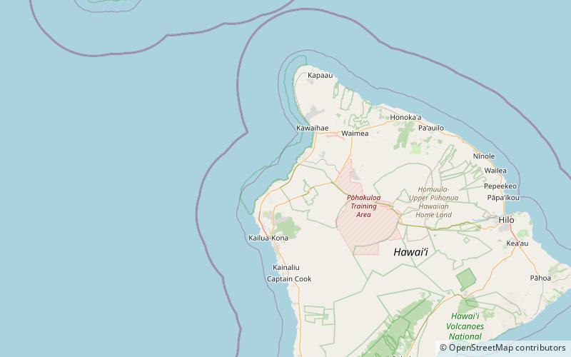
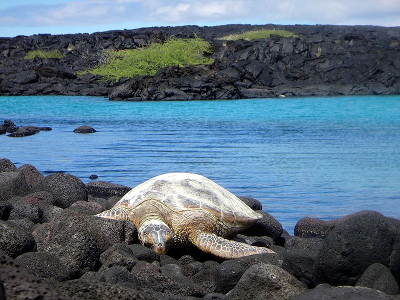
Kīholo Bay is located in the ahupua`a of Pu`u Wa`awa`a in the North Kona District on the Big Island of Hawaii. the land surrounding the bay is flanked to the South by a lava flow from Mount Hualalai ca. 1801 and another flow from Mauna Loa in 1859. The land surrounding Kīholo Bay is under the authority of Hawai‘i State Parks. Approximately 2 miles long, it is one of the island's largest bays. Kīholo Bay is now a popular site for tourists and nature enthusiasts. ()
Elevation: 0 ft a.s.l.Coordinates: 19°51'26"N, 155°55'55"W
Location
Hawaii
ContactAdd
Social media
Add
Day trips
Kiholo Bay – popular in the area (distance from the attraction)
Nearby attractions include: Anaehoomalu Bay.
