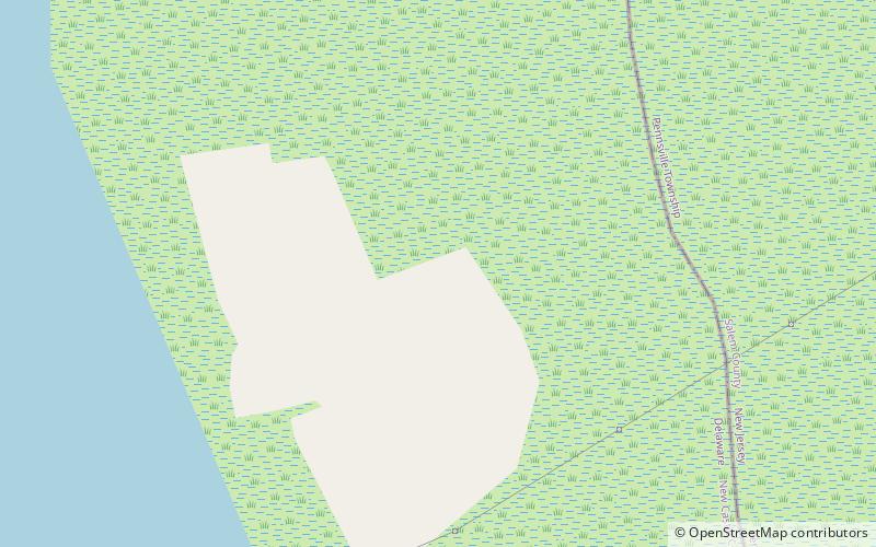
Killcohook National Wildlife Refuge

Gallery (1)
Map
Map
Facts and practical information
Killcohook National Wildlife Refuge was a National Wildlife Refuge located on the east bank of the Delaware River adjacent to the current Supawna Meadows National Wildlife Refuge. It had originally been established in 1934 as a secondary dredged material disposal site for use by the Army Corps of Engineers. Its status as a refuge was revoked in 1998 by the U.S. Congress and it is currently used as a confined disposal facility by the U.S. Army Corps of Engineers. ()
Elevation: 43 ft a.s.l.Coordinates: 39°37'3"N, 75°33'49"W
Location
Delaware
ContactAdd
Social media
Add
Day trips