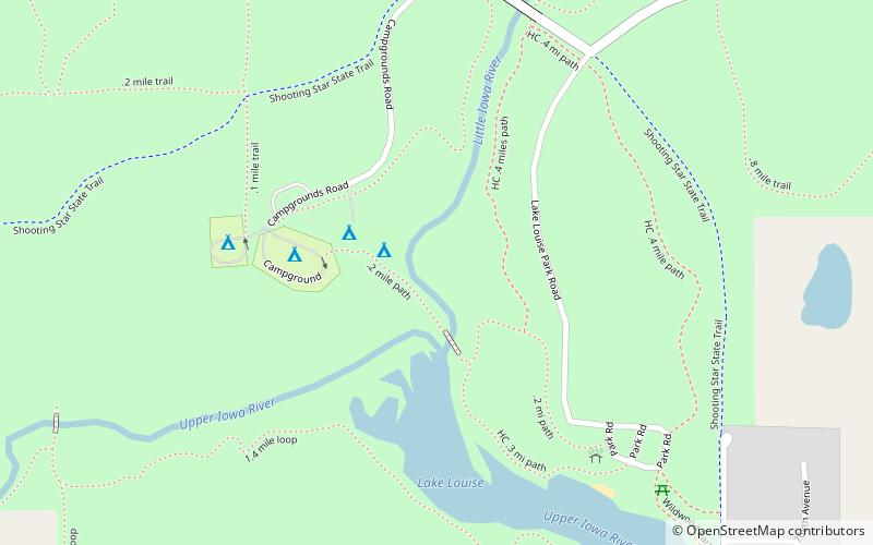
Lake Louise State Park
Map

Map

Facts and practical information
Lake Louise State Park is a Minnesota state park just north of the Iowa border near the small town of Le Roy in Mower County, Minnesota, directly south of Rochester. It has a 25 acre man-made lake and 1,168 acres of mixed prairie and deciduous forest. It is used for picnics, swimming, camping, hiking, horseback riding, and other outdoor recreation. It is noted for butterfly watching, as some rare species have been seen. It features a picnic shelter which dates to the Public Works Administration era. ()
Area: 1.86 mi²Elevation: 1266 ft a.s.l.Coordinates: 43°31'43"N, 92°31'13"W
Location
Minnesota
ContactAdd
Social media
Add
