Lake Poinsett State Park
Map

Gallery

Facts and practical information
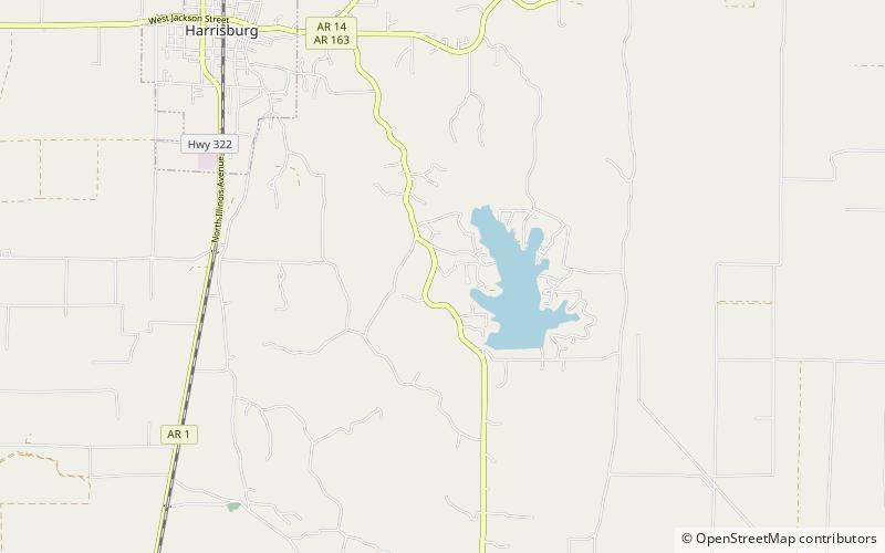
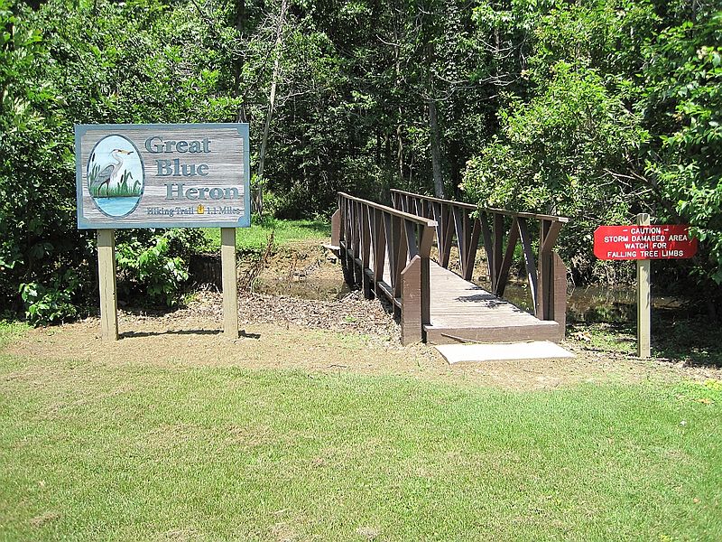
Lake Poinsett State Park is a 132-acre Arkansas state park on Crowley's Ridge in Poinsett County, Arkansas in the United States. The park was formed after the damming of Distress Creek to create a recreational lake in the county in 1960. The park is located along the western bank of the lake and is open for year-round for camping/picnicking. Boat rentals are available from February to November. ()
Visitors per year: 93 thous.Coordinates: 35°31'57"N, 90°41'14"W
