Lamentation Mountain State Park
Map

Map

Facts and practical information
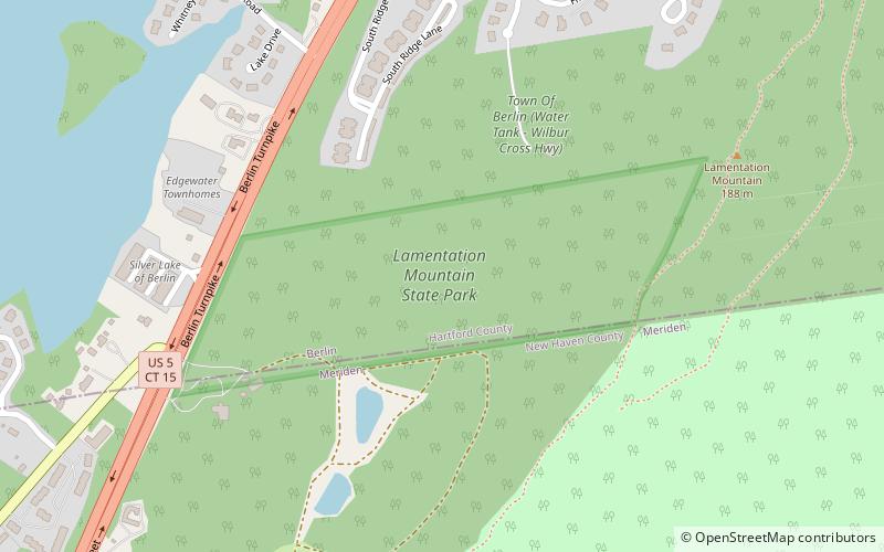
Lamentation Mountain State Park is an undeveloped public recreation area covering 47 acres in the town of Berlin, Connecticut. It entered the roll of state parks in the 1936 edition of the Connecticut Register and Manual. The state park extends for about 0.4 miles from the Berlin Turnpike up the western flank of Lamentation Mountain to the ridgeline near the Mattabesett Trail. The park offers hiking and scenic vistas. ()
Established: 1936 (90 years ago)Elevation: 335 ft a.s.l.Coordinates: 41°34'44"N, 72°45'45"W
Day trips
Lamentation Mountain State Park – popular in the area (distance from the attraction)
Nearby attractions include: New Britain Stadium, Safari Golf, Solomon Goffe House, Andrews Homestead Museum.


