Lewis and Clark Caverns

Gallery (3)
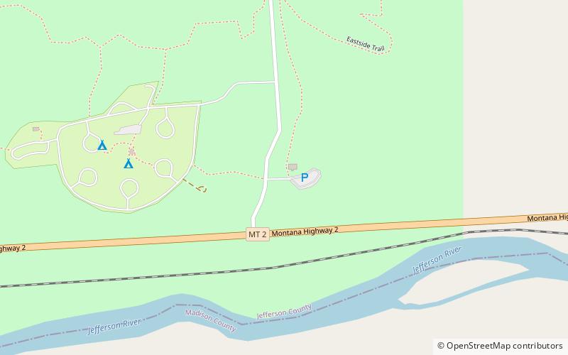
Map
Map
Gallery
Facts and practical information
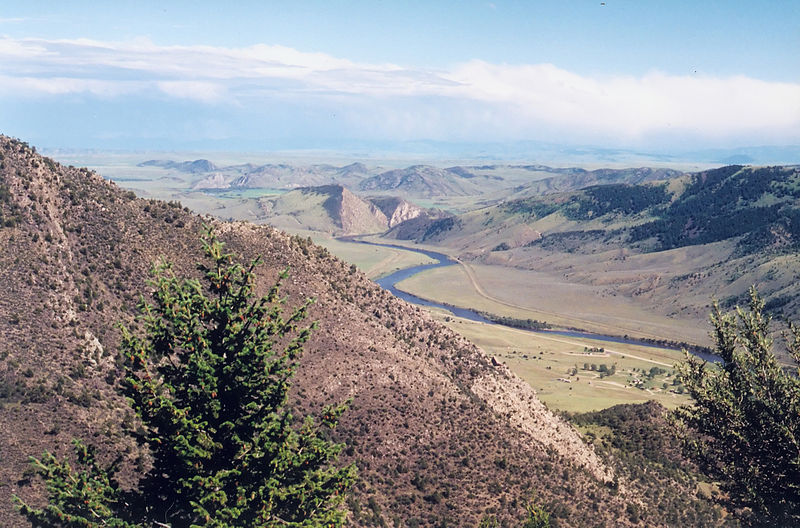
Lewis and Clark Caverns State Park is a 3,000-acre public recreation and nature preservation area located twelve miles east of Whitehall in Jefferson County, Montana. The state park includes two visitor centers, ten miles of hiking trails, a campground, and its namesake limestone caverns. The Lewis and Clark Caverns Historic District was placed on the National Register of Historic Places in 2018. ()
Established: 1935 (91 years ago)Coordinates: 45°49'22"N, 111°51'4"W