Lums Pond State Park
Map

Map

Facts and practical information
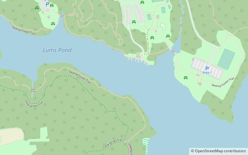
Lums Pond State Park is a 1,790-acre Delaware state park near Bear, New Castle County, Delaware in the United States. The park surrounds Lums Pond, an impoundment built by the Chesapeake and Delaware Canal on St. Georges Creek. The C&D built the pond as a source of water to fill the locks of the canal that connected the Chesapeake Bay with the Delaware River during the early 19th century. Lums Pond State Park is open for a wide variety of year-round recreation. ()
Established: 1963 (63 years ago)Coordinates: 39°33'30"N, 75°43'15"W
Day trips
Lums Pond State Park – popular in the area (distance from the attraction)
Nearby attractions include: Chesapeake City Bridge, Elkton Golf & Batting Center, Buena Vista, Iron Hill School No. 112C.


