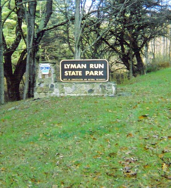
Lyman Run State Park

Gallery (3)
Map
Map
Gallery
Facts and practical information
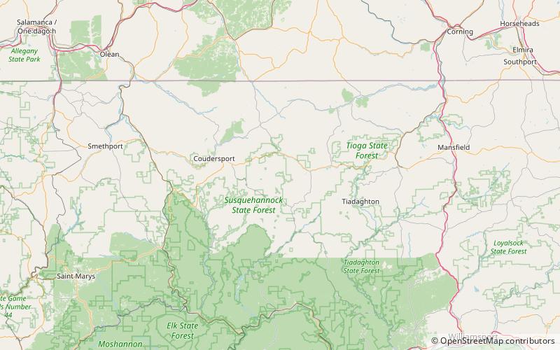
Lyman Run State Park is a 595-acre Pennsylvania state park in Ulysses and West Branch Townships in Potter County, Pennsylvania in the United States. Lyman Run Lake is a 45-acre man-made lake within the park, surrounded by a northern hardwood forest of mainly maple and cherry trees. Lyman Run State Park is 7 miles west of Galeton and 15 miles east of Coudersport, and is nearly completely surrounded by the Susquehannock State Forest. ()
Established: 1951 (75 years ago)Elevation: 1647 ft a.s.l.Coordinates: 41°43'28"N, 77°45'37"W
Day trips

