Macedonia Brook State Park

Gallery (1)
Map
Map
Facts and practical information
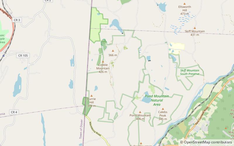
Macedonia Brook State Park is a public recreation area covering 2,302 acres in the town of Kent, Connecticut, United States. Visitors can camp in a 51-site campground, picnic, fish, and hike the blue-blazed Macedonia Ridge Trail, which crosses Cobble Mountain and other peaks. The park's first 1,552 acres were a gift made in 1918 by the White Memorial Foundation. ()
Established: 1918 (108 years ago)Elevation: 932 ft a.s.l.Coordinates: 41°46'19"N, 73°29'33"W
Day trips


