Mathews Brake National Wildlife Refuge

Gallery (1)
Map
Map
Facts and practical information
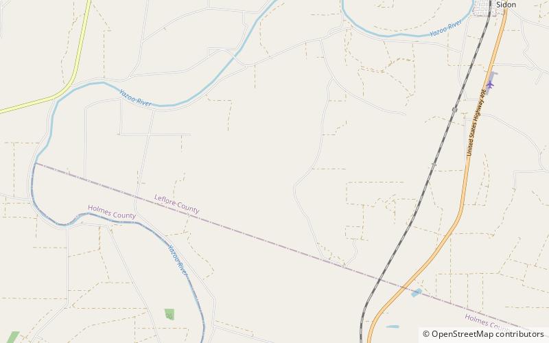
Mathews Brake National Wildlife Refuge encompasses 2,418 acres in west-central Mississippi. Established in 1980, the refuge is one of seven national wildlife refuges in the Theodore Roosevelt National Wildlife Refuge Complex. The primary habitat feature is Mathews Brake, the largest brake in Leflore County. Each winter the brake provides habitat for over 30,000 ducks. ()
Established: 1980 (46 years ago)Elevation: 115 ft a.s.l.Coordinates: 33°22'24"N, 90°15'43"W