Mayer State Park
Map

Gallery

Facts and practical information
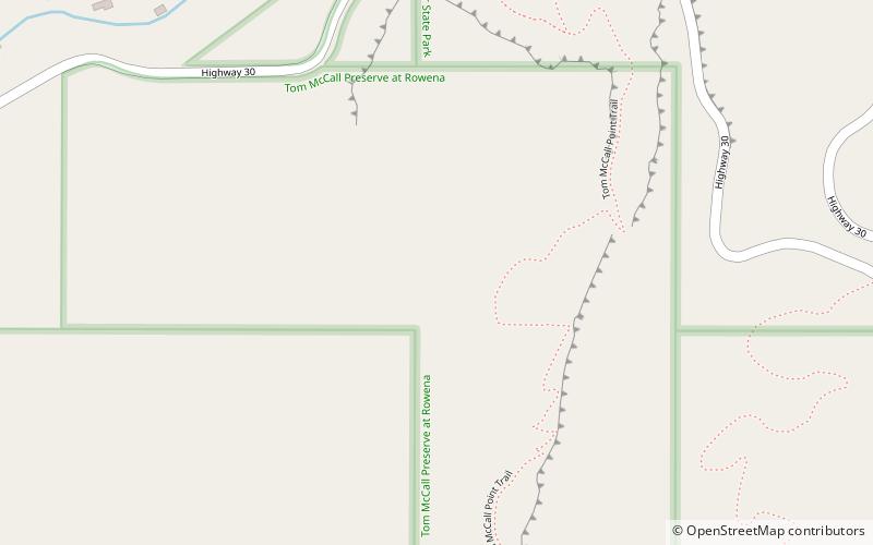
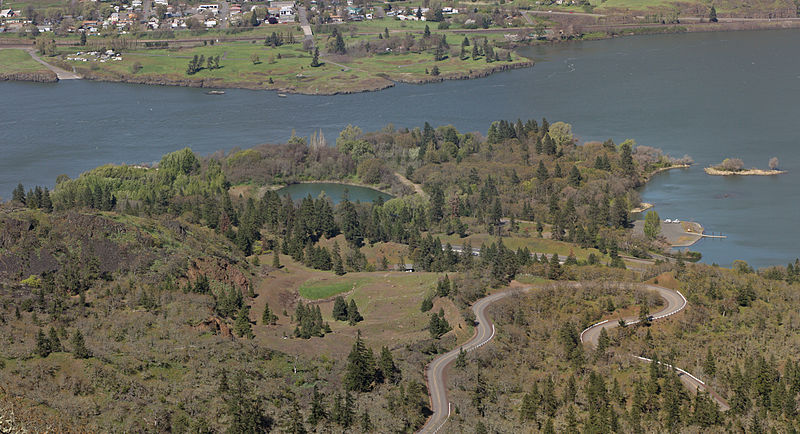
Mayer State Park is a state park in the Columbia River Gorge, near Rowena, Oregon in Wasco County in the U.S. state of Oregon. It consists of several disjointed parcels of transected by Interstate 84 and the tracks of the Union Pacific Railroad. ()
Elevation: 935 ft a.s.l.Coordinates: 45°40'33"N, 121°18'14"W
Location
Oregon
ContactAdd
Social media
Add
Day trips
Mayer State Park – popular in the area (distance from the attraction)
Nearby attractions include: Columbia Gorge Discovery Center, Fort Dalles Museum, Original Wasco County Courthouse, Rorick House Museum.


