Mitchell State Park
Map

Map

Facts and practical information
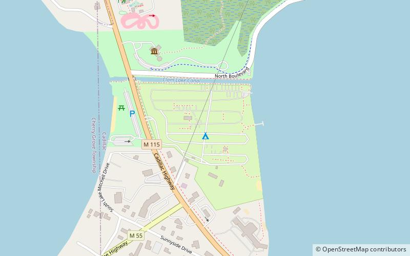
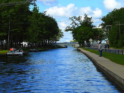
William Mitchell State Park is a public recreation area covering 334 acres within the city limits of Cadillac in northern lower Michigan. The state park is located between Lake Mitchell and Lake Cadillac. The historic Clam Lake Canal, approximately one-third of a mile in length, connects the two lakes and runs directly through the park. Dug in 1873 at the direction of city father George A. Mitchell, the canal allowed felled trees to be floated from Lake Mitchell to lumber mills on Lake Cadillac. ()
Established: 1920 (106 years ago)Visitors per year: 155.6 thous.Elevation: 1309 ft a.s.l.Coordinates: 44°14'17"N, 85°27'8"W
Day trips
Mitchell State Park – popular in the area (distance from the attraction)
Nearby attractions include: Clam Lake Canal, Old Cadillac City Hall, Wexford County Historical Society, Cadillac Wexford Public Library.


