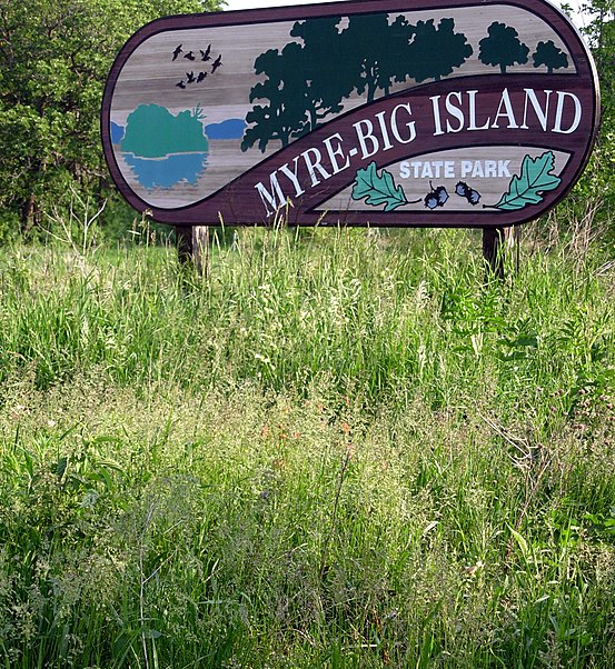
Myre-Big Island State Park

Gallery (2)
Map
Map
Gallery
Facts and practical information
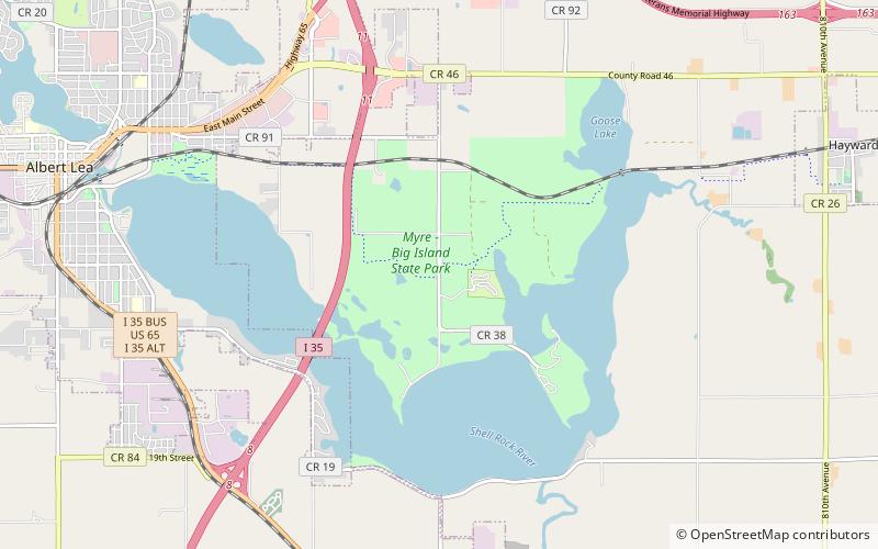
Myre-Big Island State Park is a state park of Minnesota, USA, just outside the city of Albert Lea. It has an area of 1,578 acres. The park protects 8 miles of shoreline on Albert Lea Lake. The nucleus of the park is Big Island, a 117-acre island attached to the mainland by a causeway. In turn a causeway connects Big Island to Little Island. The park was formerly named Helmer Myre State Park after former Minnesota State Senator Helmer Myre. ()
Established: 1947 (79 years ago)Elevation: 1240 ft a.s.l.Coordinates: 43°38'9"N, 93°18'32"W
Location
Minnesota
ContactAdd
Social media
Add
Day trips


