North Bend State Park

Gallery (4)
Map

Map
Gallery
Facts and practical information
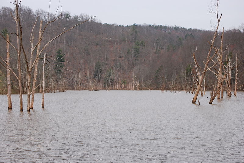
North Bend State Park sits on 2,459 acres along the North Fork of the Hughes River in Ritchie County near Cairo, West Virginia. The park is named after the sharp bend in the river that the formed three sides of the original park boundary. The North Bend Rail Trail, a 72-mile hiking and biking corridor, is also managed as a unit of the park. A new 305 acre lake was recently added to the park. ()
Established: 1951 (75 years ago)Elevation: 951 ft a.s.l.Coordinates: 39°13'14"N, 81°6'35"W