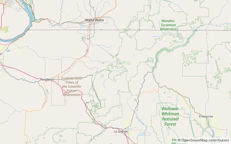
North Fork Umatilla Wilderness
Map

Map

Facts and practical information
The North Fork Umatilla Wilderness is a wilderness area located inside the Umatilla National Forest, in the Blue Mountains of northeastern Oregon. It is the smallest wilderness in northeast Oregon, encompassing only 20,144 acres in Umatilla and Union counties. ()
Established: 1984 (42 years ago)Elevation: 4098 ft a.s.l.Coordinates: 45°43'18"N, 118°8'20"W
Location
Oregon
ContactAdd
Social media
Add
Day trips
North Fork Umatilla Wilderness – popular in the area (distance from the attraction)
Nearby attractions include: Spout Springs Ski Area, Langdon Lake.


