Sam D. Hamilton Noxubee National Wildlife Refuge

Gallery (1)
Map
Map
Facts and practical information
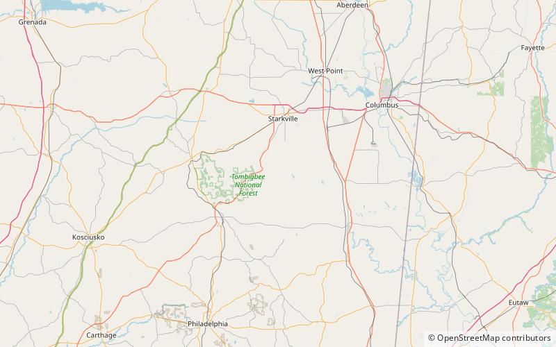
Sam D. Hamilton Noxubee National Wildlife Refuge is a 48,000 acres National Wildlife Refuge located in the U.S. state of Mississippi, in Noxubee, Oktibbeha, and Winston Counties. The refuge serves as a resting and feeding area for migratory birds and as example of proper land stewardship. Also, the refuge extensively manages land for the endangered red-cockaded woodpecker. ()
Established: 1940 (86 years ago)Elevation: 249 ft a.s.l.Coordinates: 33°16'8"N, 88°50'21"W