Laurel Hill State Park
Map
Gallery
Facts and practical information
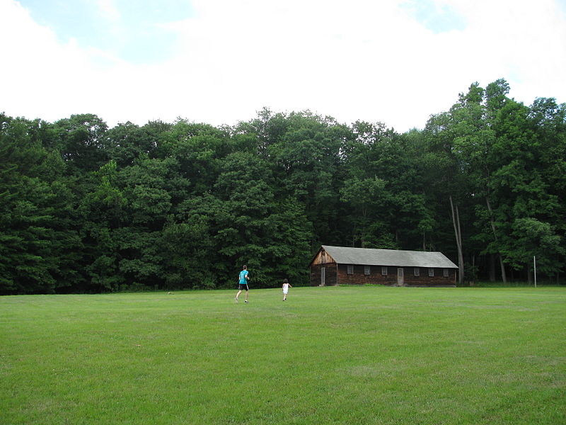
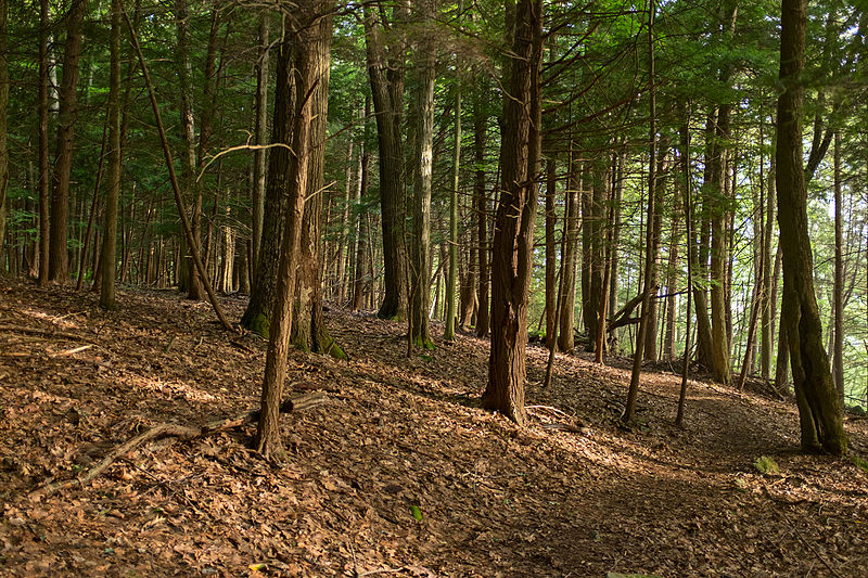
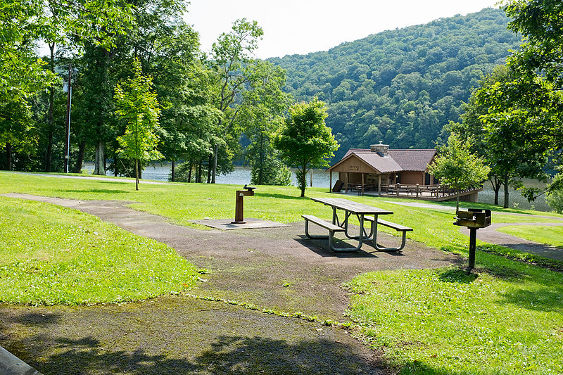
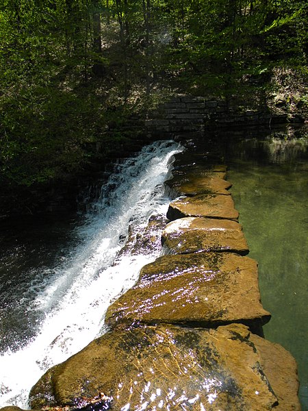
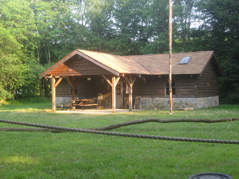
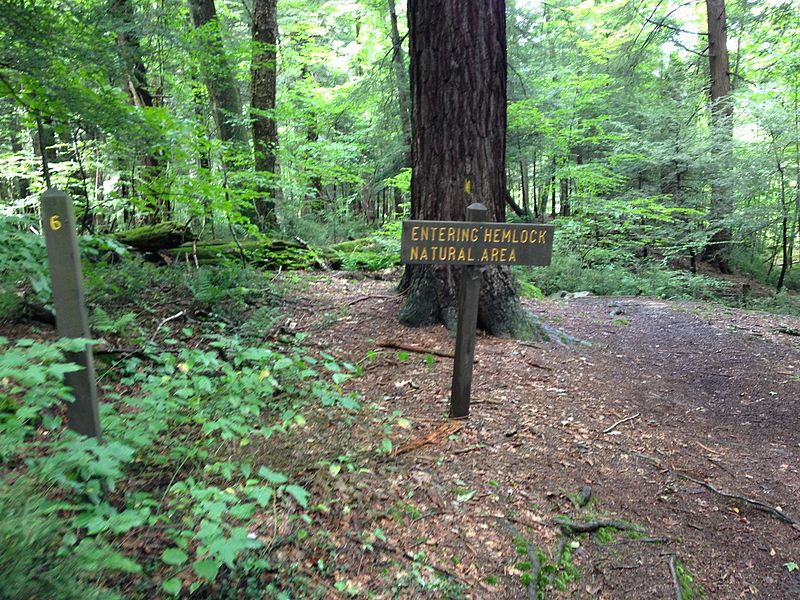
Laurel Hill State Park is a 3,935-acre Pennsylvania state park in Jefferson and Middlecreek Townships, Somerset County, Pennsylvania in the United States. Laurel Hill Lake is a 63-acre man-made lake with a dam that was constructed during the Great Depression by the young men of CCC camps SP-8-PA and SP-15-PA. Laurel Hill State Park is 8 miles from Interstate 76 just off Pennsylvania Route 31 near Bakersville and on Pennsylvania Route 653 near Trent. ()
Established: 1945 (81 years ago)Elevation: 2211 ft a.s.l.Coordinates: 40°0'29"N, 79°14'37"W
Day trips
Laurel Hill State Park – popular in the area (distance from the attraction)
Nearby attractions include: Laurel Hill State Park Complex.


