Potawatomi State Park

Gallery (3)
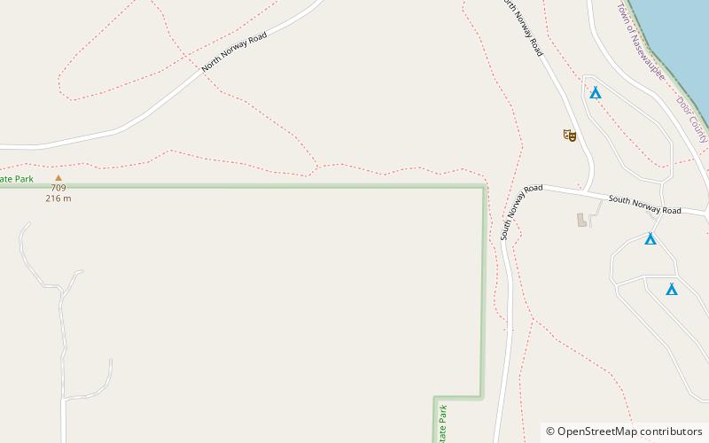
Map
Map
Gallery
Facts and practical information
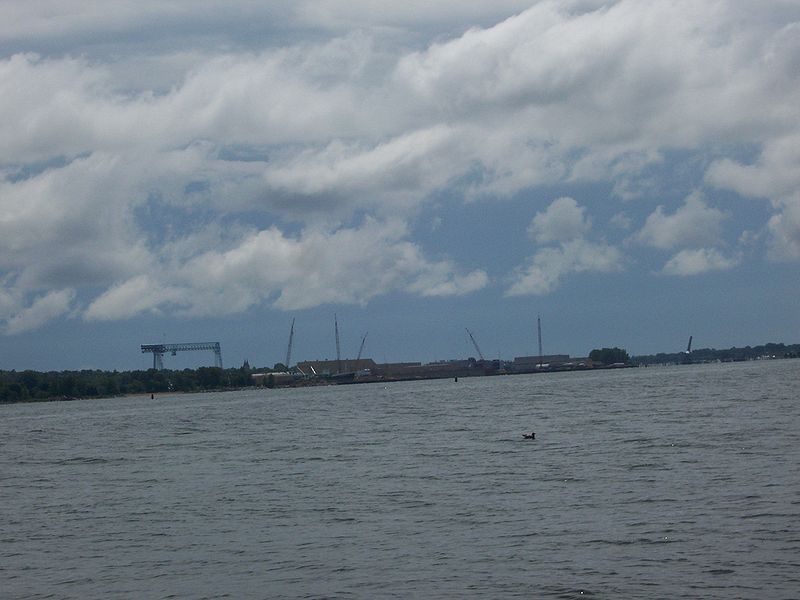
Potawatomi State Park is a 1,225-acre Wisconsin state park northwest of the city of Sturgeon Bay, Wisconsin in the Town of Nasewaupee. It is located in Door County along Sturgeon Bay, a bay within the bay of Green Bay. Potawatomi State Park was established in 1928. ()
Established: 1928 (98 years ago)Elevation: 692 ft a.s.l.Coordinates: 44°51'50"N, 87°25'14"W
Day trips
Potawatomi State Park – popular in the area (distance from the attraction)
Nearby attractions include: Door County Maritime Museum, Sturgeon Bay Bridge, Door County Historical Museum and Archives, SkipperBud's Yacht Center at Quarterdeck Marina.


