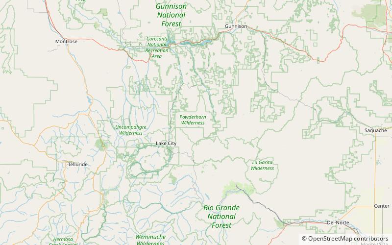
Powderhorn Wilderness
Map

Map

Facts and practical information
The Powderhorn Wilderness is a 62,050-acre wilderness area in Hinsdale and Gunnison Counties, Colorado, USA, located 5 miles northeast of Lake City. Most of the northern part of the area, 48,115 acres, about 77.5%, is located on Bureau of Land Management land and its southern portion, 13,935 acres, about 22.5%, is located within the Gunnison National Forest. Elevations in the wilderness range from 8,500 feet at the West Fork Powderhorn Creek to 12,661 feet at the summit of Calf Creek Plateau. ()
Location
Colorado
ContactAdd
Social media
Add
