Rangeley Lake State Park
Map

Map

Facts and practical information
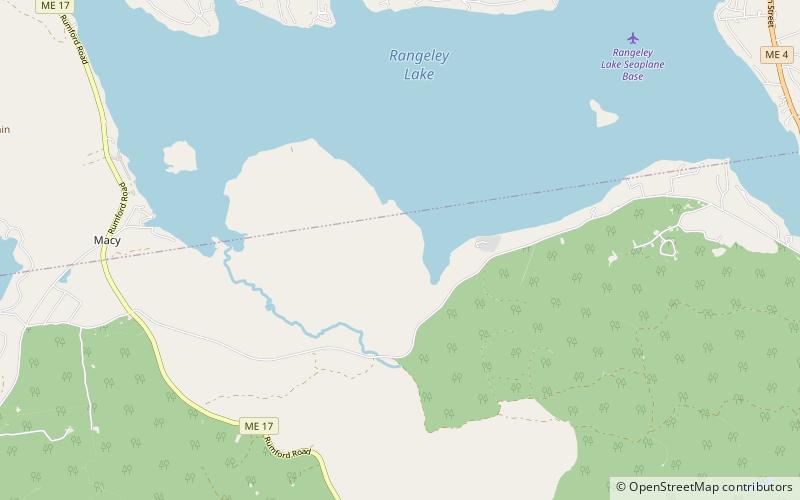
Rangeley Lake State Park is a public recreation area occupying 870 acres on the southern shore of Rangeley Lake in Franklin County, Maine. The state park is located partly in the town of Rangeley and partly in Rangeley Plantation. It is managed by the Maine Department of Agriculture, Conservation and Forestry. ()
Established: 1960 (66 years ago)Elevation: 1627 ft a.s.l.Coordinates: 44°55'39"N, 70°42'9"W
Day trips
Rangeley Lake State Park – popular in the area (distance from the attraction)
Nearby attractions include: Wilhelm Reich Museum.

