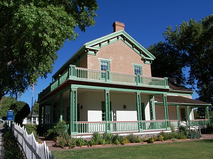
Red Cliffs National Conservation Area
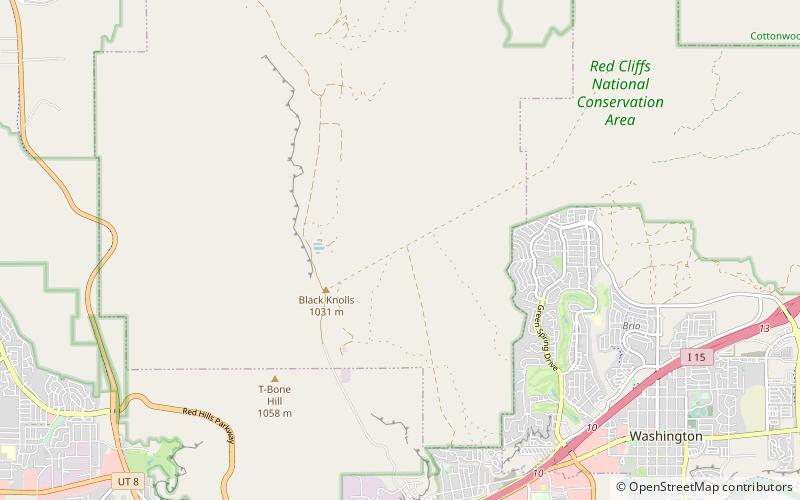
Map
Gallery
Facts and practical information
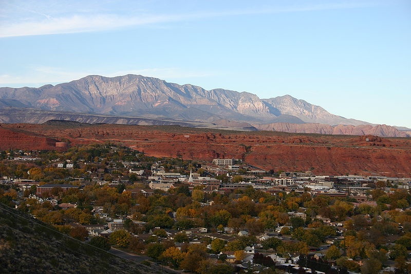
The Red Cliffs National Conservation Area is a 44,724-acre National Conservation Area located in southwest Utah, north of St. George at the northeasternmost edge of the Mojave Desert. It is managed by the Bureau of Land Management as part of the National Landscape Conservation System, and was created as part of the Omnibus Public Land Management Act of 2009. ()
Established: 2009 (17 years ago)Elevation: 3251 ft a.s.l.Coordinates: 37°9'22"N, 113°33'14"W
Day trips
Red Cliffs National Conservation Area – popular in the area (distance from the attraction)
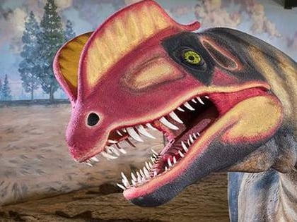
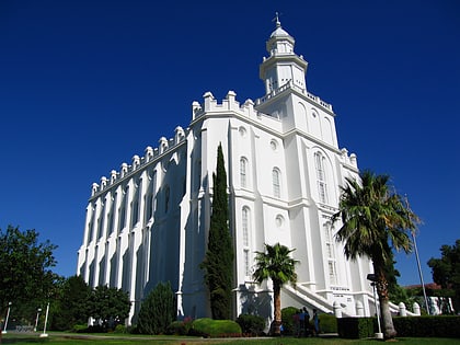
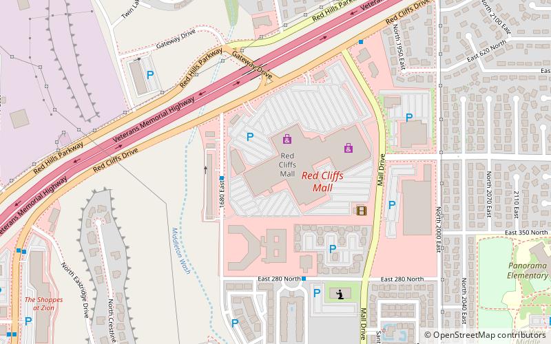
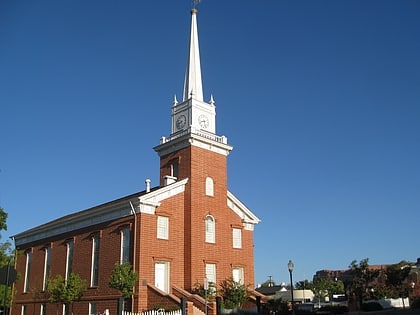
Nearby attractions include: Dinosaur Discovery Site, St. George Utah Temple, Red Cliffs Mall, Thomas Judd House.

