Redmond–Bend Juniper State Scenic Corridor
Map

Gallery

Facts and practical information
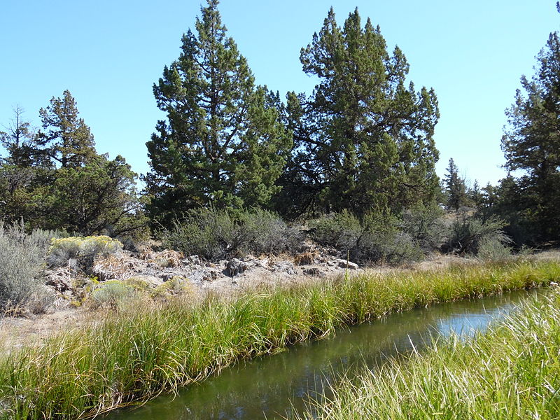
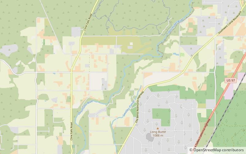
Redmond–Bend Juniper State Scenic Corridor is a collection of ten unimproved land parcels administered for the Oregon Parks and Recreation Department. The parcels are located along U.S. Route 97 between Bend and Redmond, Oregon, United States. It is named for the large western juniper trees found on the parcels. The scenic corridor is completely undeveloped with no trails or park facilities of any kind. ()
Created: 1945Elevation: 3241 ft a.s.l.Coordinates: 44°10'16"N, 121°14'28"W
Location
Oregon
ContactAdd
Social media
Add
Day trips
Redmond–Bend Juniper State Scenic Corridor – popular in the area (distance from the attraction)
Nearby attractions include: Petersen Rock Garden, Tumalo State Park, Awbrey Falls, First Interstate Bank Center.


