Reeds Gap State Park

Gallery (1)
Map
Map
Facts and practical information
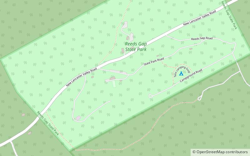
Reeds Gap State Park is a 220 acres Pennsylvania state park in Armagh Township, Mifflin County, Pennsylvania in the United States. The park is largely a wilderness area with large white pine and hemlock trees. Honey Creek flows through the park, providing a habitat for trout. Reeds Gap State Park is 7 miles from U.S. Route 322 near Milroy in New Lancaster Valley and Bald Eagle State Forest. ()
Established: 1938 (88 years ago)Elevation: 817 ft a.s.l.Coordinates: 40°43'18"N, 77°28'30"W