Richardson Grove State Park
Map

Map

Facts and practical information
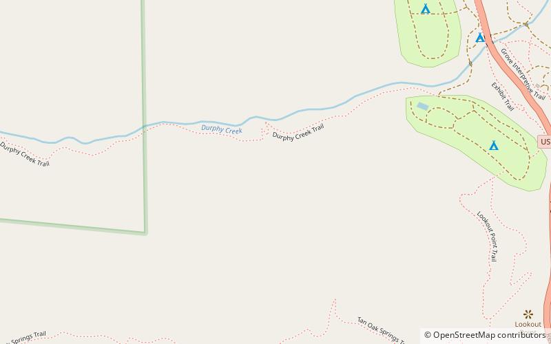
Richardson Grove State Park is located at the southernmost border of Humboldt County, 75 miles south of Eureka, California, United States, and 200 miles north of San Francisco. The year-round park, which has approximately 2,000 acres, straddles US 101, causing the narrowest point of its entire distance. Said to have the 9th largest tree of all remaining Coast Redwoods, it is known for swimming on the South Fork of the Eel River and day use in addition to 159 campsites. ()
Established: 1922 (104 years ago)Elevation: 686 ft a.s.l.Coordinates: 40°1'6"N, 123°48'0"W
Location
California
ContactAdd
Social media
Add
