Rio de Los Angeles State Park
Map
Map

Facts and practical information
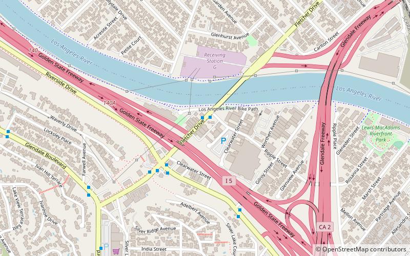
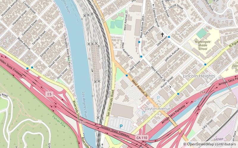
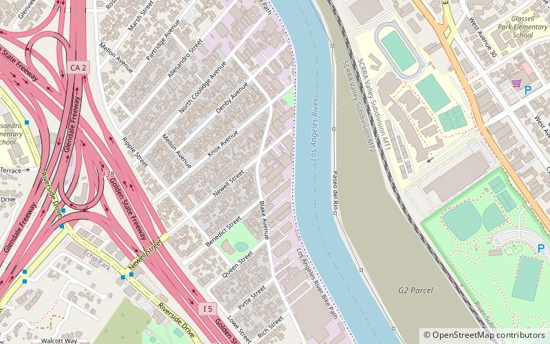
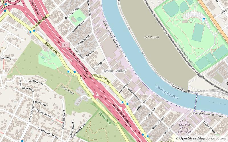
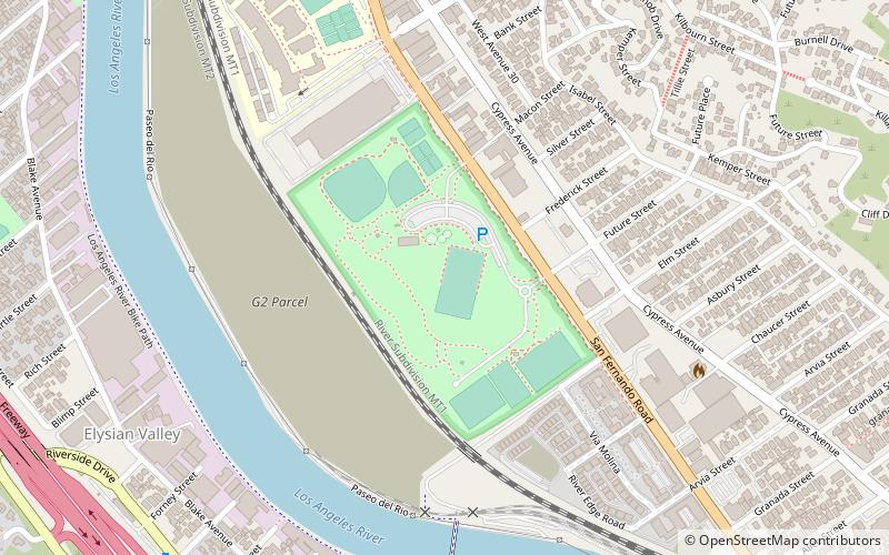
Rio de Los Angeles State Park is a California State Park along the Los Angeles River north of downtown Los Angeles in the neighborhood of Glassell Park, Los Angeles. The 247-acre park includes restored wetlands featuring native plants as well as sports fields, a children’s playground and a recreation building. Rio de Los Angeles State Park is currently managed in partnership with the City of Los Angeles Department of Parks and Recreation. ()
Established: 2007 (19 years ago)Elevation: 351 ft a.s.l.Coordinates: 34°5'54"N, 118°14'10"W
Location
California
ContactAdd
Social media
Add
Day trips
Rio de Los Angeles State Park – popular in the area (distance from the attraction)
Nearby attractions include: Zebulon Cafe Concert, Los Angeles River Center and Gardens, Chavez Ravine Arboretum, Richard Henry Dana Branch.

