Ryerson Station State Park
Map

Map

Facts and practical information
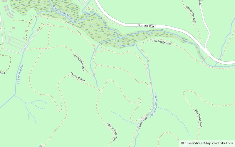
Ryerson Station State Park is a 1,164-acre Pennsylvania state park in Richhill Township, Greene County, Pennsylvania in the United States. It was previously home to Ronald J. Duke Lake, a 52-acre artificial lake on the North Fork of the Dunkard Fork of Wheeling Creek, that was constructed in 1960, but drained in 2005 due to structural concerns about the dam. Ryerson Station State Park is 3 miles from Wind Ridge just off Pennsylvania Route 21 very close to the West Virginia state line. ()
Established: 1967 (59 years ago)Elevation: 1175 ft a.s.l.Coordinates: 39°52'55"N, 80°26'35"W
