San Joaquin Experimental Range
Map

Map

Facts and practical information
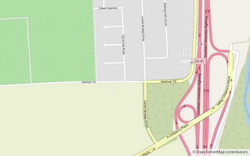
The San Joaquin Experimental Range is an ecosystem research experimental area in the foothills of the Sierra Nevada. The range is located in O'Neals, California, outside of the Sierra National Forest about 32 kilometres north of Fresno, California. The range includes a portion of California grassland and California woodlands with blue oak, interior live oak, and digger pine. ()
Established: 1976 (50 years ago)Elevation: 367 ft a.s.l.Coordinates: 36°53'45"N, 119°47'53"W
Location
California
ContactAdd
Social media
Add
Day trips
San Joaquin Experimental Range – popular in the area (distance from the attraction)
Nearby attractions include: River Park, Peoples Church, Woodward Park, Temple Beth Israel.


