Sand Ridge State Forest

Map
Facts and practical information
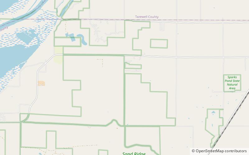
Sand Ridge State Forest is a conservation area located in the U.S. state of Illinois. Containing 7,200 acres, it is the largest state forest in Illinois. It is located in northern Mason County. The nearest town is Manito, Illinois, and the nearest numbered highway is U.S. Highway 136. It is located on a low bluff, or "sand ridge", overlooking the Illinois River, hence the name. The sand ridge is believed to be an artifact of the post-glacial Kankakee Torrent. ()
Established: 1939 (87 years ago)Elevation: 495 ft a.s.l.Coordinates: 40°24'41"N, 89°51'58"W
Location
Illinois
ContactAdd
Social media
Add
Day trips
Sand Ridge State Forest – popular in the area (distance from the attraction)
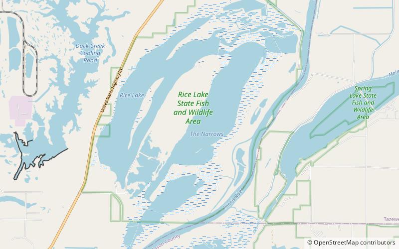
Nearby attractions include: Spring Lake State Fish and Wildlife Area, Rice Lake State Fish and Wildlife Area.

