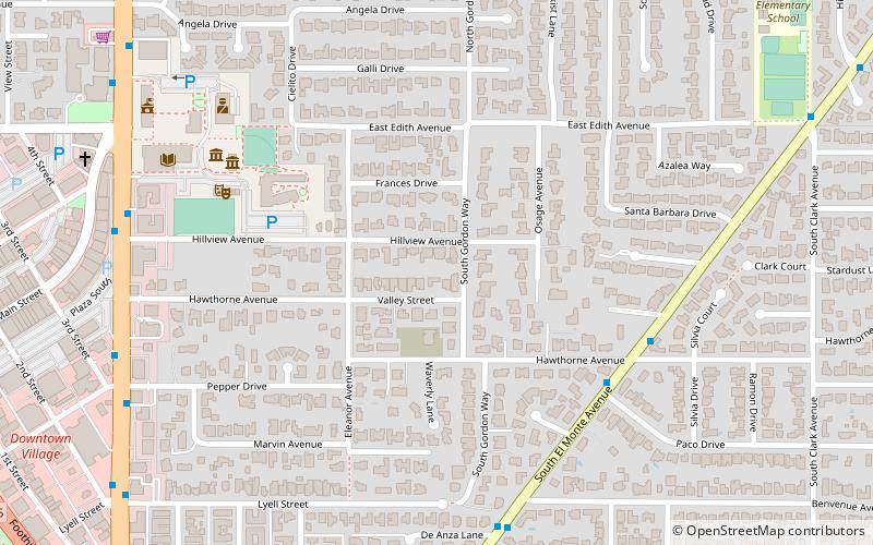
Los Altos, Mountain View
Map

Map

Facts and practical information
Los Altos is a city in Santa Clara County, California, in the San Francisco Bay Area. The population was 31,625 according to the 2020 census. ()
Day trips
Los Altos – popular in the area (distance from the attraction)
Nearby attractions include: Los Altos History Museum, Shoup Park, Midpeninsula Regional Open Space District, Christ Episcopal Church.
Frequently Asked Questions (FAQ)
Which popular attractions are close to Los Altos?
Nearby attractions include Los Altos History Museum, Mountain View (7 min walk), Shoup Park, Mountain View (17 min walk).
How to get to Los Altos by public transport?
The nearest stations to Los Altos:
Bus
Bus
- South El Monte Avenue & Hawthorne Avenue • Lines: 52 (6 min walk)
- South San Antonio Road & Hillview Avenue • Lines: 40 (9 min walk)


