Sleeping Giant Wilderness Study Area

Gallery (3)
Map
Map
Gallery
Facts and practical information
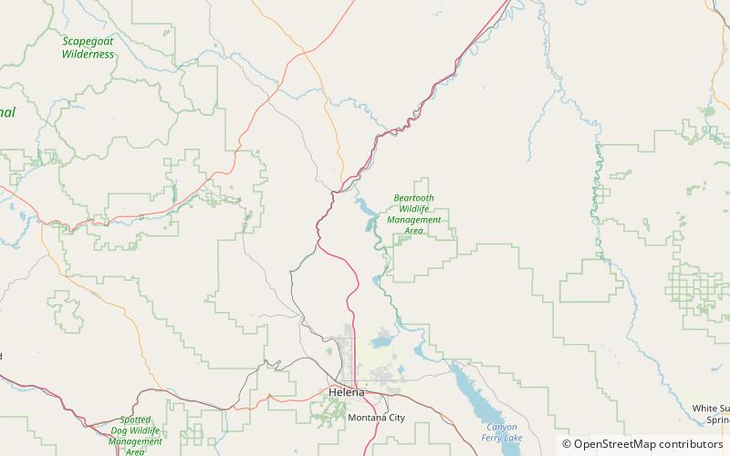
Sleeping Giant Wilderness Study Area is a non-motorized recreation area located on the west side of the Missouri River and Holter Lake located about 30 miles north of Helena, Montana. Designated as a wilderness study area in 1981, the Sleeping Giant Wilderness Study Area contains approximately 6,666 acres of nearly roadless land, about half of which is forested. A portion of the Lewis and Clark National Historic Trail is contained inside the study area. ()
Elevation: 3668 ft a.s.l.Coordinates: 46°55'56"N, 111°58'48"W
Location
Montana
ContactAdd
Social media
Add
Day trips
Sleeping Giant Wilderness Study Area – popular in the area (distance from the attraction)
Nearby attractions include: Mann Gulch.
