South Higgins Lake State Park
Map

Map

Facts and practical information
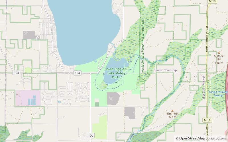
South Higgins Lake State Park is a public recreation area covering 1,000 acres on the southern shore of Higgins Lake five miles southwest of Roscommon in Roscommon County, Michigan. The state park occupies one mile of shoreline on Higgins Lake and entirely surrounds Marl Lake and portions of the Cut River. ()
Established: 1927 (99 years ago)Area: 1.54 mi²Elevation: 1152 ft a.s.l.Coordinates: 44°25'20"N, 84°40'12"W
