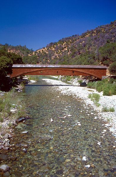
South Yuba River State Park

Gallery (2)
Map
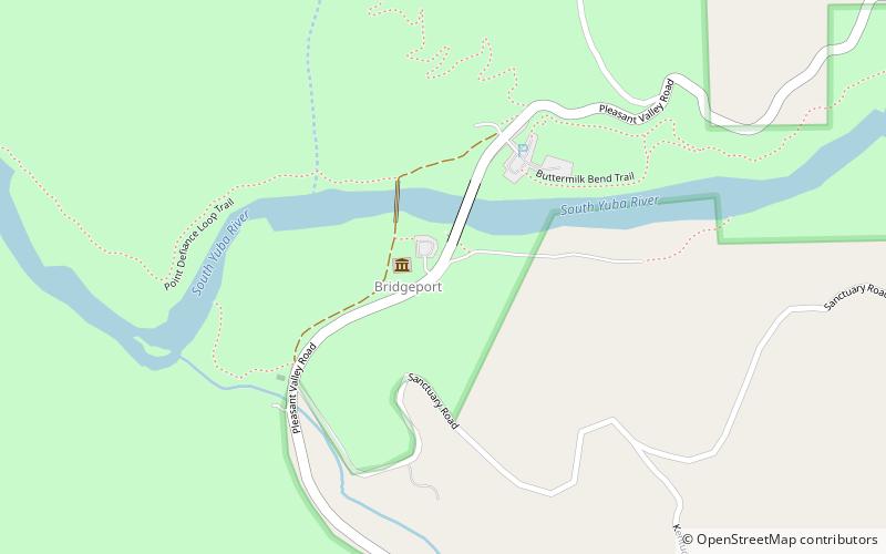
Map
Gallery
Facts and practical information
South Yuba River State Park is located along the South Fork of the Yuba River in the Sierra Nevada, within Nevada County, in Northern California. ()
Elevation: 581 ft a.s.l.Coordinates: 39°17'30"N, 121°11'38"W
Location
California
ContactAdd
Social media
Add