
St. Helena Island Travel Guide
Facts and practical information
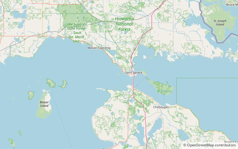
St. Helena Island is a hidden gem in the Michigan region of the United States. This beautiful island is located in Lake Michigan and offers a peaceful and serene escape from the hustle and bustle of everyday life. The island is rich in history and natural beauty, making it the perfect destination for travelers looking to immerse themselves in the great outdoors.
One of the main attractions on St. Helena Island is the St. Helena Island Lighthouse, which has been a guiding light for ships on Lake Michigan since 1873. Visitors can take a guided tour of the lighthouse and learn about its fascinating history and importance to the maritime community. The views from the top of the lighthouse are breathtaking and provide a unique perspective of the surrounding landscape.
In addition to the lighthouse, St. Helena Island is also home to pristine beaches, lush forests, and diverse wildlife. Nature enthusiasts will love exploring the island's hiking trails, birdwatching opportunities, and tranquil picnic spots. The island's remote location and lack of commercial development make it a haven for those seeking a peaceful and unspoiled natural environment.
For those interested in history, St. Helena Island offers a glimpse into the past with its historic structures and artifacts. The island was once home to a thriving fishing and logging community, and remnants of this heritage can still be seen today. Visitors can explore the island's historic buildings and learn about the early settlers who called St. Helena Island home.
Michigan
St. Helena Island Attractions - What to See and Explore
St. Helena Island offers many attractions and places to visit. Here are the most important ones: St. Helena Island Light. Below you will find a complete list of places worth visiting.
Best Time To Visit St. Helena Island
Learn when is the best time to travel to St. Helena Island weather-wise and what to expect in each season.