Stagecoach State Park
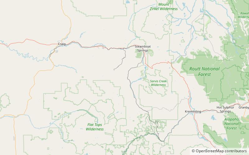
Map

Map

Facts and practical information
Stagecoach State Park is a Colorado State Park located in Routt County 17 miles south of Steamboat Springs, Colorado. The 1,641-acre park established in 1989 includes a 771-acre reservoir on the Yampa River formed by Stagecoach Dam. Facilities include a marina, boat ramps, campsites, picnic sites and 8 miles of trails. Park uplands are montane shrub communities, with riparian areas and wetlands around the reservoir and along the river. Commonly sighted wildlife includes elk, mule deer, coyote, red fox and badger. ()
Established: 1989 (37 years ago)Elevation: 7795 ft a.s.l.Coordinates: 40°17'18"N, 106°59'31"W
Location
Colorado
ContactAdd
Social media
Add
