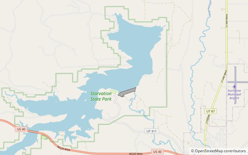
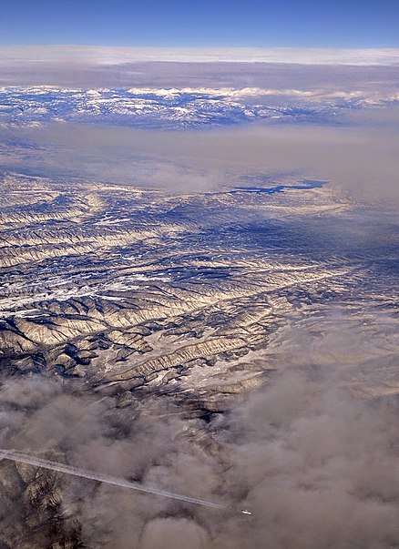
Starvation State Park

Gallery (2)
Map
Map
Gallery
Facts and practical information
Fred Hayes State Park at Starvation is a state park in northeastern Utah, United States, featuring the 3,495-acre Starvation Reservoir. The park is 4 miles northwest of the town of Duchesne, Utah. ()
Established: 1972 (54 years ago)Visitors per year: 70 thous.Elevation: 5709 ft a.s.l.Coordinates: 40°11'47"N, 110°26'46"W
Location
Utah
ContactAdd
Social media
Add
Day trips
Starvation State Park – popular in the area (distance from the attraction)
Nearby attractions include: Duchesne County 4-H.
