Starve Island
Map

Map

Facts and practical information
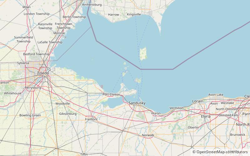
Starve Island is an island of the U.S. state of Ohio located in Lake Erie. The 2-acre island is about a mile south of South Bass Island. In normal weather conditions it is visible for only a mile or two, as some rocks and a few shrubs poking up from the lake, and is the second smallest of the Lake Erie Islands. The island can be seen from the top of Perry's Victory and International Peace Memorial in Put-in-Bay. ()
Coordinates: 41°37'11"N, 82°49'8"W
Location
Ohio
ContactAdd
Social media
Add
Day trips
Starve Island – popular in the area (distance from the attraction)
Nearby attractions include: Perry's Victory and International Peace Memorial, Jay Cooke House, Crystal Cave, Catawba Island State Park.


