Tallahatchie National Wildlife Refuge
Map

Map

Facts and practical information
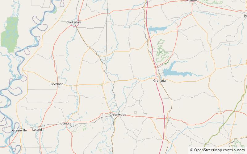
The Tallahatchie National Wildlife Refuge was established in 1990 and consists of 4,083 acres in Grenada and Tallahatchie counties. Topography is relatively flat and land has been subject to extensive clearing and drainage for commodity crops, including cotton before and after the Civil War. Upon acquisition the refuge lands consisted mostly of agricultural fields. Since then, nearly 1,300 acres have been reforested. The unit's largest continuous tract is a patchwork of cultivated farmlands, old fields, and small scattered hardwood bottomland forests bisected by the meandering Tippo Bayou, which is its centerpiece. ()
Established: 1990 (36 years ago)Elevation: 135 ft a.s.l.Coordinates: 33°47'40"N, 90°7'42"W
