Tennessee National Wildlife Refuge

Gallery (1)
Map
Map
Facts and practical information
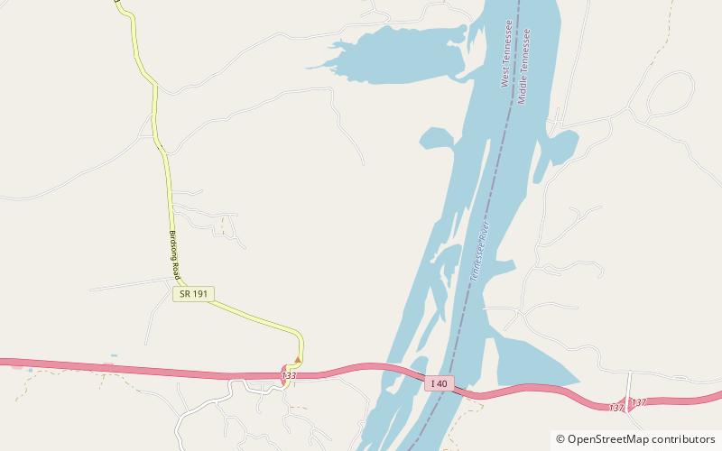
Tennessee National Wildlife Refuge is a National Wildlife Refuge of the United States located along the shores of the Tennessee River in West Tennessee. It was established in 1945 where the impoundment of Kentucky Lake by the Tennessee Valley Authority has created a more-or-less permanent wetlands environment favored by many species of waterfowl. The entire refuge area is 51,359.46 acres in three units: From north to south they are Big Sandy, Duck River, and Busseltown. ()
Established: 1945 (81 years ago)Elevation: 469 ft a.s.l.Coordinates: 35°53'31"N, 87°57'22"W