Uinta National Forest

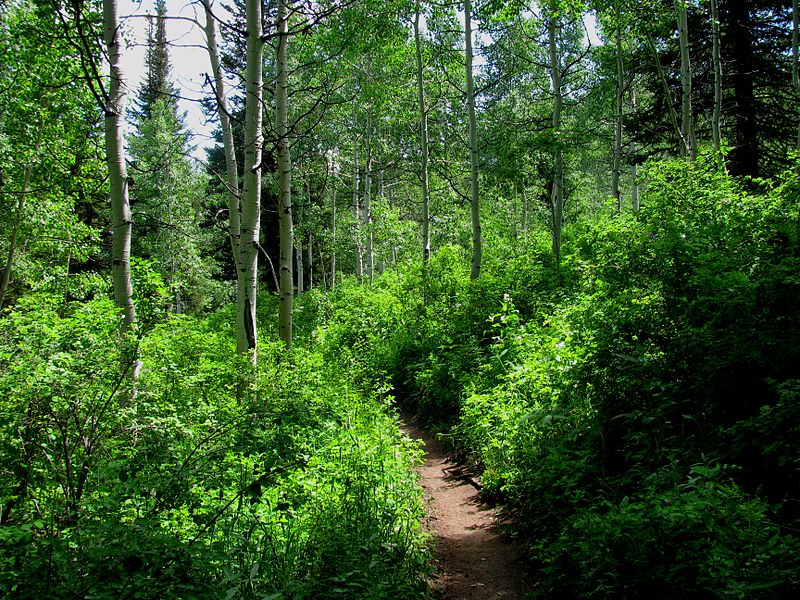
Gallery (2)
Map
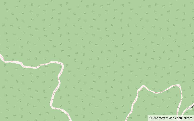
Map
Gallery
Facts and practical information
Uinta National Forest is a national forest located in north central Utah, USA. It was originally part of the Uinta Forest Reserve, created by Grover Cleveland on 2 February 1897. The name is derived from the Ute word Yoov-we-teuh which means pine forest. Because of changes to the boundaries over the years, the Uinta Mountains are now located in the Wasatch-Cache National Forest. In August 2007 it was announced that the Uinta National Forest would merge with the Wasatch-Cache National Forest based in Salt Lake City, Utah, 50 miles north of Provo, Utah. ()
Day trips
Uinta National Forest – popular in the area (distance from the attraction)
Nearby attractions include: Santaquin.
