Upper Pine Bottom State Park
Map
Gallery
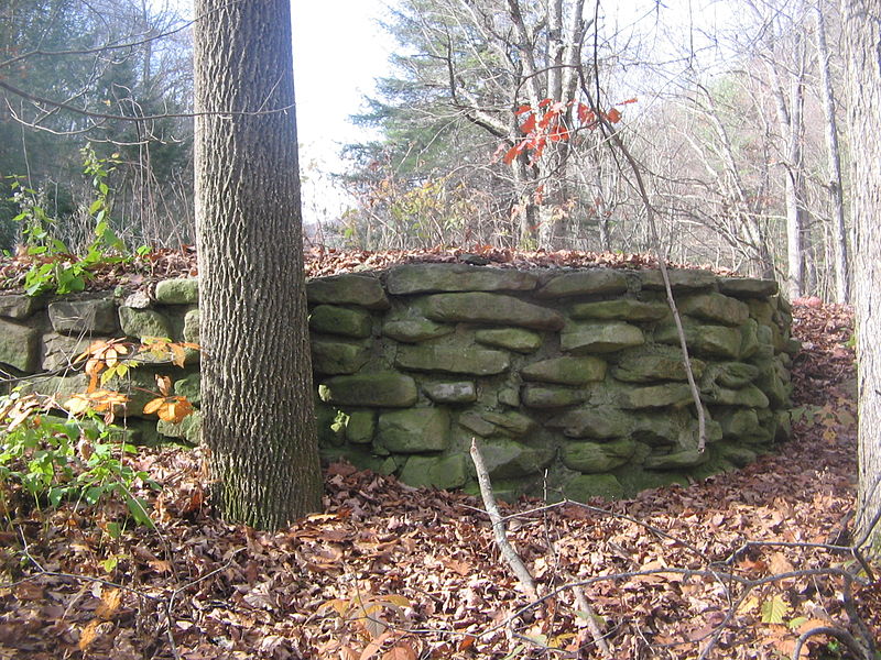
Facts and practical information
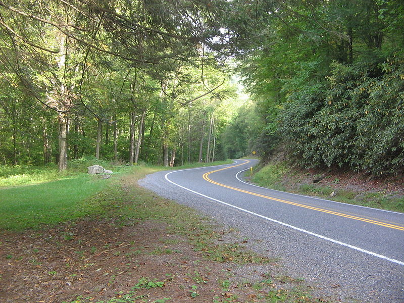
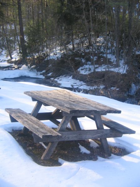
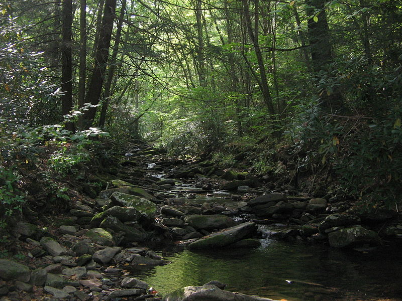
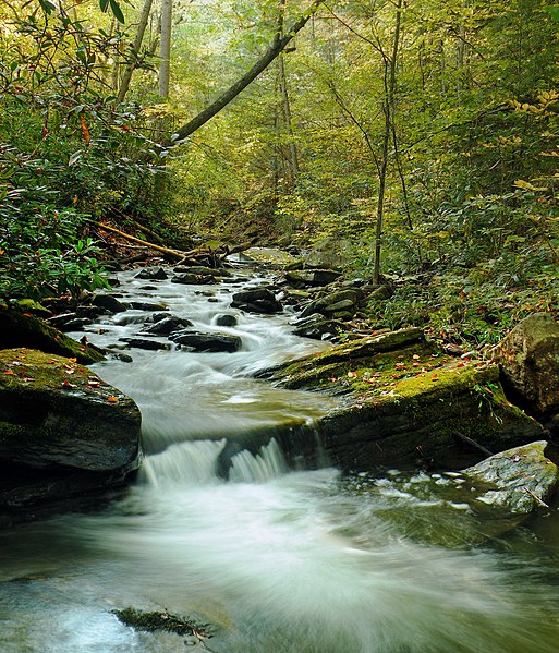
Upper Pine Bottom State Park is a 5-acre Pennsylvania state park in Lycoming County, Pennsylvania in the United States. The park is in Cummings Township on Pennsylvania Route 44 and is surrounded by the Tiadaghton State Forest. It is on Upper Pine Bottom Run, which gave the park its name and is a tributary of Pine Creek. Upper Pine Bottom State Park is in the Pine Creek Gorge, where the streams have cut through five major rock formations from the Devonian and Carboniferous periods. ()
Established: 1923 (103 years ago)Elevation: 1070 ft a.s.l.Coordinates: 41°19'5"N, 77°25'17"W
Day trips
Upper Pine Bottom State Park – popular in the area (distance from the attraction)
Nearby attractions include: Little Pine State Park.


