Wao Kele o Puna
Map

Map

Facts and practical information
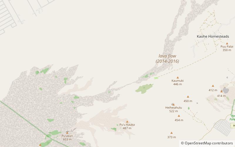
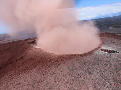
Wao Kele O Puna is Hawaiʻi's largest remaining lowland wet forest, about 15 mi south of the city of Hilo, along the East Rift Zone of Kīlauea volcano on the Island of Hawaiʻi. The name means the upland rainforest of Puna. Puna is one of 9 districts on the island. Lava from Kīlauea continues to flow onto forest land. ()
Coordinates: 19°26'29"N, 155°1'23"W
Location
Hawaii
ContactAdd
Social media
Add
Day trips
Wao Kele o Puna – popular in the area (distance from the attraction)
Nearby attractions include: Puʻu ʻŌʻō, The Pahoa Village Museum.


