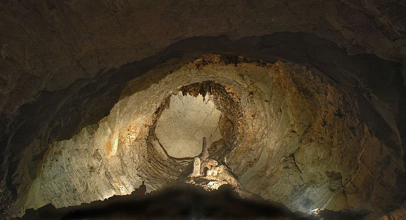
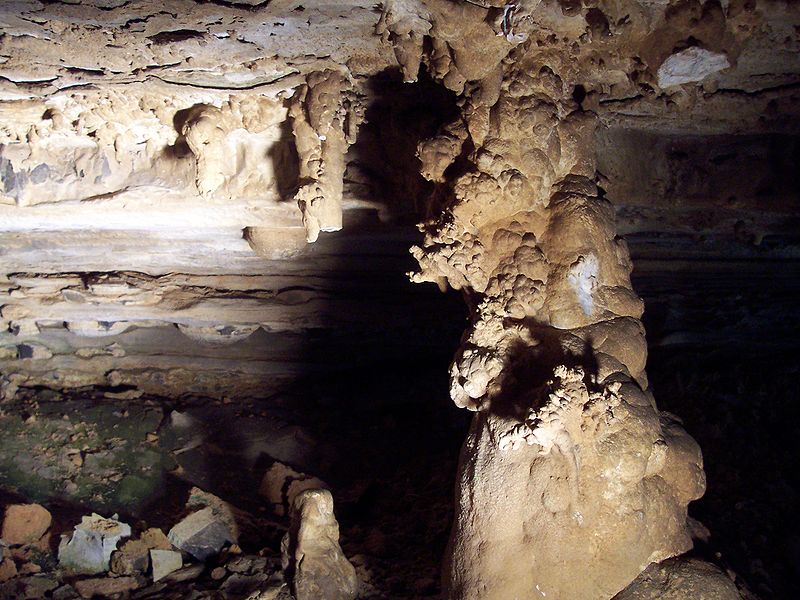
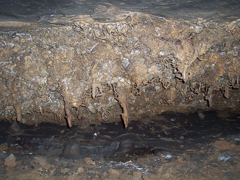
Wyandotte Caves

Gallery (10)
Map


Map

Gallery
Facts and practical information
The Wyandotte Caves is a pair of limestone caves located on the Ohio River in Harrison-Crawford State Forest in Crawford County, 5 miles north-east of Leavenworth and 12 miles from Corydon in southern Indiana which are a popular tourist attraction. Wyandotte Caves were designated a National Natural Landmark in 1972. They are now part of O'Bannon Woods State Park. The cave system is the 5th largest in the state of Indiana. ()
Elevation: 561 ft a.s.l.Coordinates: 38°13'39"N, 86°17'46"W
Day trips
Wyandotte Caves – popular in the area (distance from the attraction)
Nearby attractions include: Leavenworth.
