Zumwalt Prairie
Map

Map

Facts and practical information
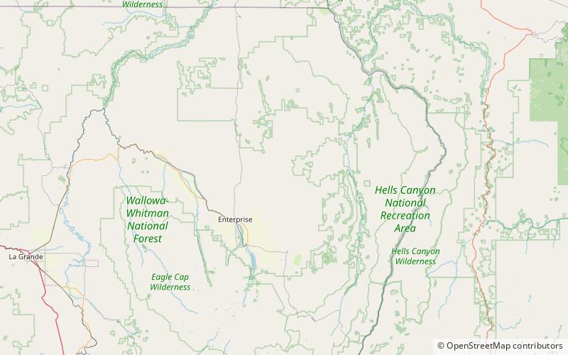
Zumwalt Prairie is a grassland area located in Wallowa County in northeast Oregon, United States. Measuring 330,000 acres, much of the land is used for agriculture, with some portions protected as the Zumwalt Prairie Preserve owned by The Nature Conservancy. Part of that portion is designated as a National Natural Landmark. The high altitude prairie is along the west edge of Hells Canyon on the Oregon-Idaho border. ()
Elevation: 4695 ft a.s.l.Coordinates: 45°32'24"N, 117°5'24"W
Location
Oregon
ContactAdd
Social media
Add
