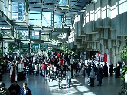
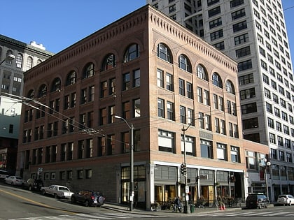
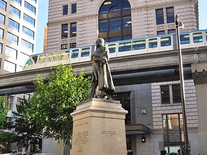
ACT Theatre, Seattle
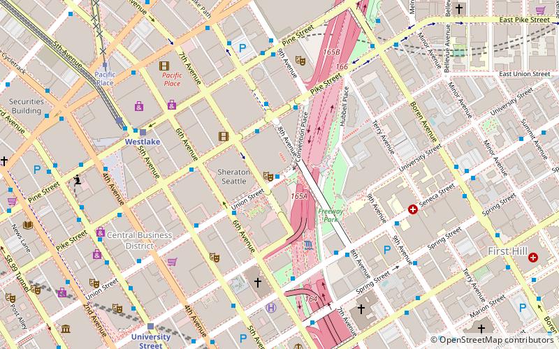
Map
Map

Facts and practical information
ACT Theatre is a regional, non-profit theatre organization in Seattle, in the US state of Washington. Gregory A. Falls founded ACT in 1965 and served as its first Artistic director; at the time ACT was founded he was also head of the Drama Department at the University of Washington. Falls was identified with the theatrical avant garde of the time, and founded ACT because he saw the Seattle Repertory Theatre as too specifically devoted to classics. ()
Coordinates: 47°36'39"N, 122°19'55"W
Day trips
ACT Theatre – popular in the area (distance from the attraction)
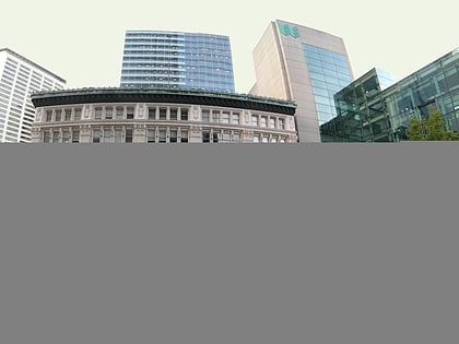
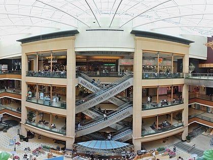
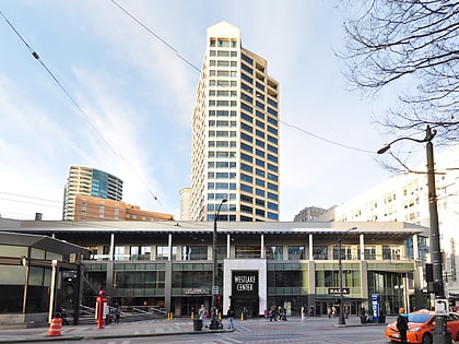
Nearby attractions include: Pacific Place, Seattle Eagle, Westlake Center, Freeway Park.
Frequently Asked Questions (FAQ)
Which popular attractions are close to ACT Theatre?
Nearby attractions include Eagles Auditorium Building, Seattle (1 min walk), Washington State Convention Center, Seattle (2 min walk), Freeway Park, Seattle (3 min walk), Union Square, Seattle (3 min walk).
How to get to ACT Theatre by public transport?
The nearest stations to ACT Theatre:
Bus
Light rail
Train
Tram
Trolleybus
Ferry
Bus
- 6th Ave & Union St • Lines: 311 (3 min walk)
- Pike St & Convention Pl • Lines: 101, 102, 150, 550 (3 min walk)
Light rail
- Westlake • Lines: 1 (6 min walk)
- University Street • Lines: 1 (8 min walk)
Train
- Westlake Center (7 min walk)
- Seattle King Street (24 min walk)
Tram
- Pacific Place • Lines: South Lake Union Streetcar (8 min walk)
- Westlake & 7th • Lines: South Lake Union Streetcar (11 min walk)
Trolleybus
- 3rd Ave & Seneca St • Lines: 1, 13, 3, 4, 49 (9 min walk)
- 3rd Ave & Virginia St • Lines: 1, 13, 2, 3, 4 (12 min walk)
Ferry
- Seattle Waterfront • Lines: Seattle-Blake Island (15 min walk)
- Seattle • Lines: Seattle-Bremerton, Seattle-Winslow (19 min walk)
