Addison Street, Elgin
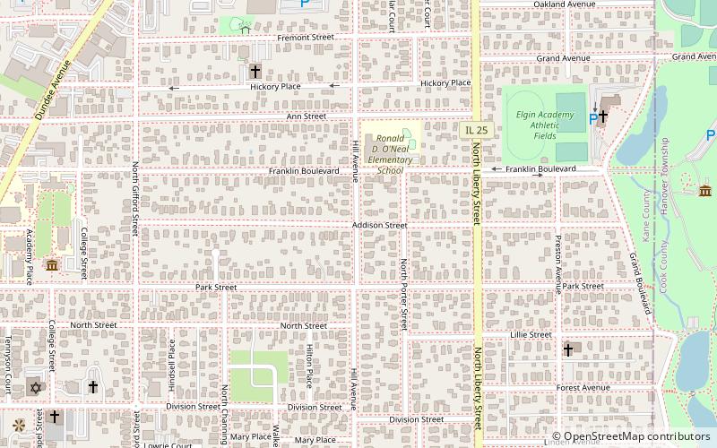
Map
Facts and practical information
Addison Street is a major east–west street on the north side of Chicago and its western suburbs. Wrigley Field is located at 1060 West Addison Street, which is the home of the Chicago Cubs. ()
Coordinates: 42°2'31"N, 88°16'14"W
Address
Elgin
ContactAdd
Social media
Add
Day trips
Addison Street – popular in the area (distance from the attraction)
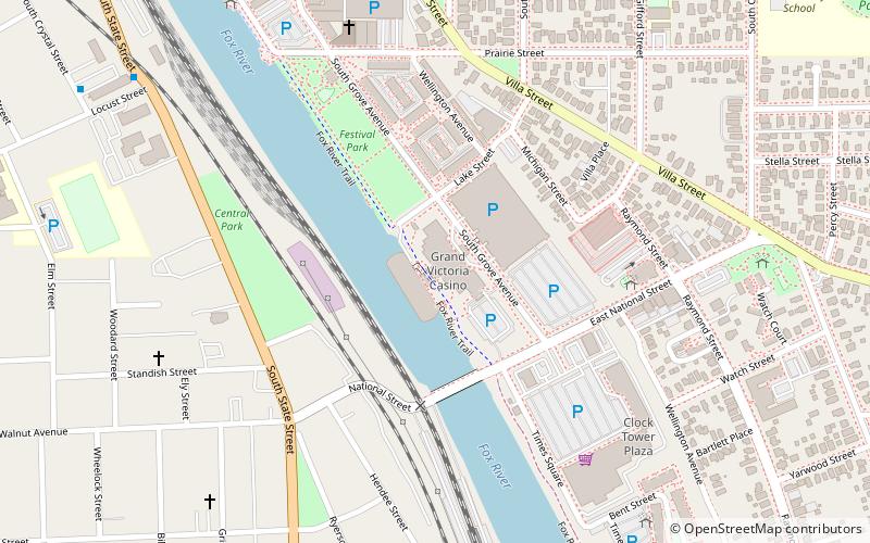
Nearby attractions include: Grand Victoria Casino, Elgin National Watch Company Observatory, Elgin District, Elgin Public Museum.
Frequently Asked Questions (FAQ)
Which popular attractions are close to Addison Street?
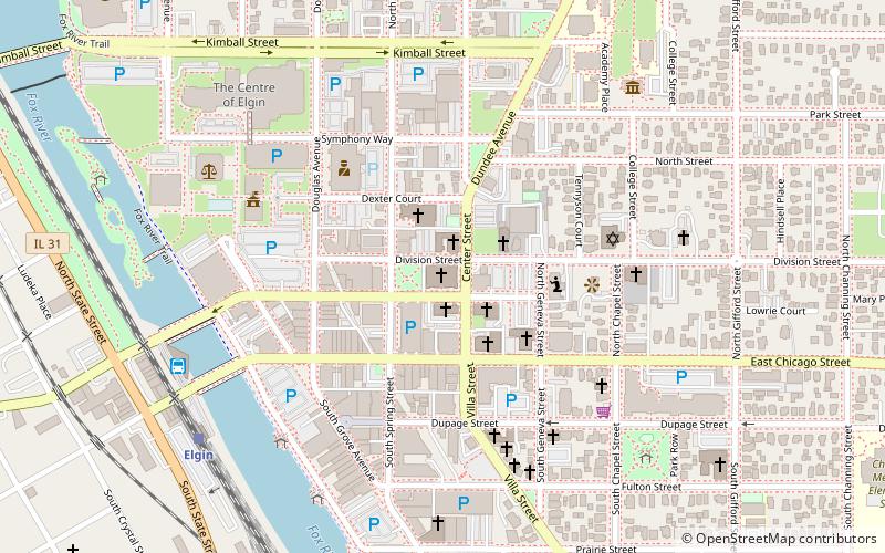
Nearby attractions include Elgin Area Historical Society, Elgin (10 min walk), Elgin Academy, Elgin (10 min walk), Elgin Public Museum, Elgin (11 min walk), Elgin Historic District, Elgin (11 min walk).
How to get to Addison Street by public transport?
The nearest stations to Addison Street:
Bus
Train
Bus
- 854 Summit St • Lines: 541 (19 min walk)
- Elgin Transportation Center (23 min walk)
Train
- Elgin (23 min walk)
- National Street (30 min walk)
