Agate Falls Scenic Site

Gallery (1)
Map
Map
Facts and practical information
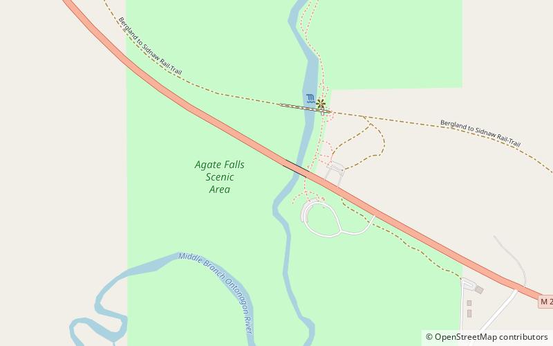
The Agate Falls Scenic Site is a waterfall and scenic site located in Interior Township, in southeastern Ontonagon County, Michigan. The waterfall is 7 miles southeast of Bruce Crossing, Michigan on the state highway M-28. ()
Height: 39 ftCoordinates: 46°28'45"N, 89°5'28"W
Location
Michigan
ContactAdd
Social media
Add
Day trips
Agate Falls Scenic Site – popular in the area (distance from the attraction)
Nearby attractions include: Bond Falls.
