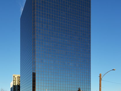
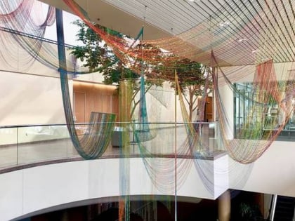
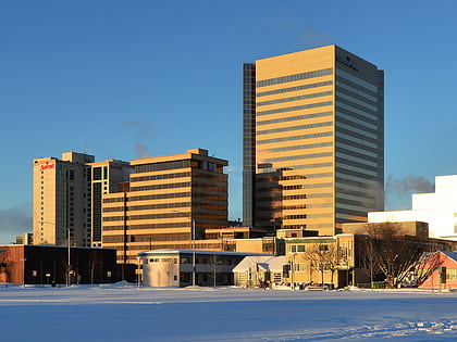
Alaska Center for the Performing Arts, Anchorage
Map
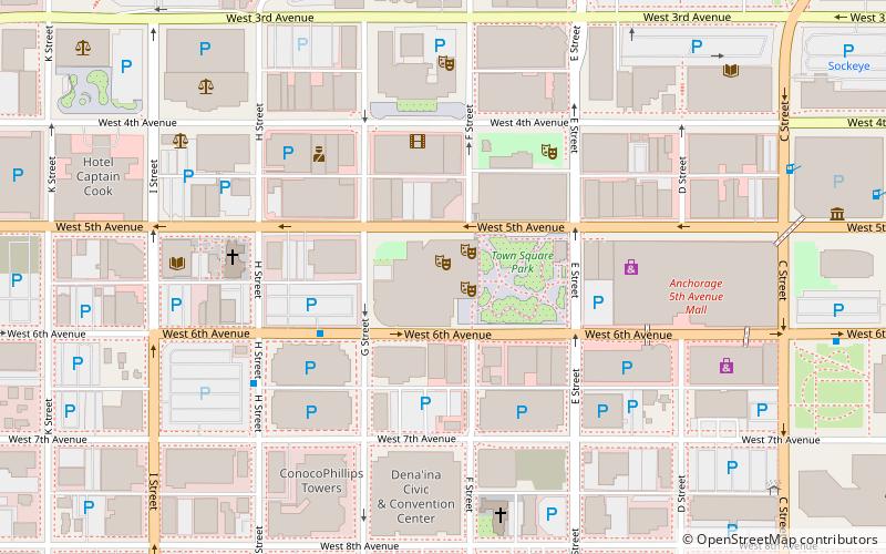
Map

Facts and practical information
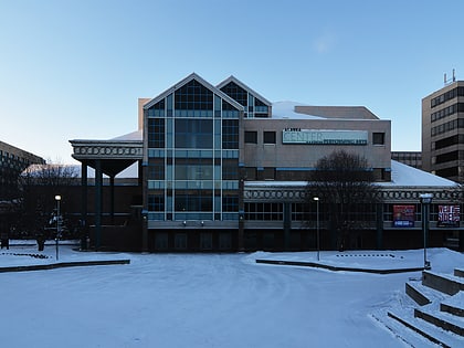
The Alaska Center for the Performing Arts is a performance venue in downtown Anchorage, Alaska. Opened in 1988, it hosts over 200,000 patrons annually, and consists of three theaters: ()
Coordinates: 61°13'2"N, 149°53'38"W
Day trips
Alaska Center for the Performing Arts – popular in the area (distance from the attraction)
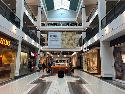
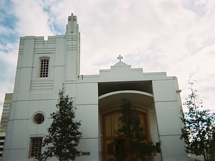
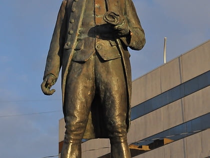
Nearby attractions include: Anchorage 5th Avenue Mall, Holy Family Old Cathedral, Statue of James Cook, Tony Knowles Coastal Trail.
Frequently Asked Questions (FAQ)
Which popular attractions are close to Alaska Center for the Performing Arts?
Nearby attractions include Robert B. Atwood Building, Anchorage (1 min walk), Egan Center, Anchorage (3 min walk), Old Anchorage City Hall, Anchorage (3 min walk), Fourth Avenue Theatre, Anchorage (3 min walk).
How to get to Alaska Center for the Performing Arts by public transport?
The nearest stations to Alaska Center for the Performing Arts:
Bus
Train
Bus
- Downtown Transit Center • Lines: 10, 40 (3 min walk)
- C Street & 7th Avenue SSW • Lines: 10, 40 (7 min walk)
Train
- Anchorage (9 min walk)
