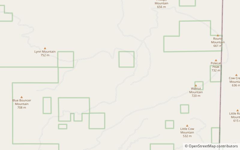
Beech Creek National Scenic Area, Ouachita National Forest

Map
Facts and practical information
Beech Creek National Scenic Area is a federally designated National Scenic Area within Ouachita National Forest. It is 6 miles east and 5 miles south of the unincorporated community of Big Cedar in Le Flore County, Oklahoma, USA. The 7,500-acre scenic area is administered by the U.S. Forest Service, a part of the U.S. Department of Agriculture. The scenic area includes 32 miles of hiking trails, some on former roads. The original designated area, the Beech Creek Botanical Area, remains, conserving mature beech trees near the headwaters of Beech Creek. ()
Established: 1988 (38 years ago)Coordinates: 34°34'60"N, 94°31'0"W
Address
Ouachita National Forest
ContactAdd
Social media
Add